Choropleth Maps
@@TODO UPDATE - !!!this is out of date!!! The Choropleth element provides a choropleth map (also known as a “heat map”) and a legend. The component uses a set of functions (choroplethFunctions) to map domain data to map polygons. The following elements are required to generate the Choropleth:
Map Data
Map data provides features suitable for rendering a d3 map. Two formats are supported: topojson and geojson.
Domain Data
Domain data provides the statistical data necessary to calculate the levels of the choropleth. As with all components, this can be provided by the globalData parameter, or fetched via a custom function or using any of the available backends.
Configuration object
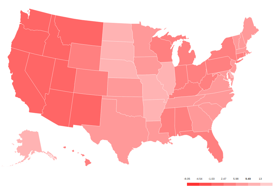
{
  type: 'Choropleth',
  format: 'geojson',
  fetchData: {
    url: './data/apollo-parsed-1737-325_0.csv',
    type: 'backend',
    backend: 'csv',
    // delimiter: '\t'
  },
  id: 'Choropleth',
  dataKeyField: 'Zone',
  dataValueField: 'Total Observers',
  geometryKeyField: 'name',
  geometry: './data/zones.geojson', // topojson or geojson
  projection: 'equirectangular',
  scaleDenominator: .7,
  borderColor: '#000000',
  noDataColor: '#F3F3F3',
  dataClassification: 'equidistant',
  legend: {
    // startColor: 'red',
    // endColor: 'yellow',
    classesCount: 5,
    palleteKey: 'GnBu',
    pallete: ['#f0f9e8', '#bae4bc', '#7bccc4', '#43a2ca', '#0868ac'],
    domainStartValue: '',
    domainEndValue: '',
  }
  // customMin: '',
  // customMax: '',
  // topologyObject: 'counties'
}
Settings
- format: [string] type of geometry file to be used. Actually geojson and topojson geometries are supported.
- geometry:: [string] path to either a geojson or topojson file.
- geometryKeyField (geojson): [string] name of the property in the geometry file that will be used to join the domain data with the proper polygon.
- dataKeyField: [string] field in the domain data that will be used to join join the domain data with the proper polygon.
- dataValueField: [string] field in the domain data to calculate the levels of the choropleth.
- projection: [string] the projection to draw the geometry. Available projections can be found at https://github.com/d3/d3/wiki/Geo-Projections.
- scaleDenominator: [number] a number to scale the map according to an arbitrary factor - experiment to find the best result
- borderColor: [string] border color for each shape in the geometry
- noDataColor: [string] shape color when no data is available in a given polygon.
- startColor(linear scale): [string] color mapped to the lowest value in the domain data.
- endColor(linear scale): [string] color mapped to the highest value in the domain data.
- dataClassification: [string] kind of scale to be used for data classification. Linear and Equidistant scales are supported.
- legend
- classesCount the number of ranges to divide the domain data into
- pallete An array of css colors to represent the choro[pleth gradient]